Mountain and Hill Walking in Snowdonia
- Lisa Wells

- May 19, 2019
- 3 min read
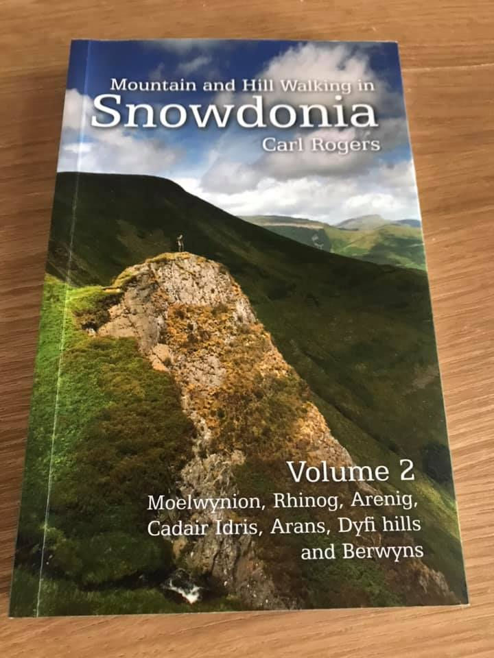
I was recently asked if I’d like to review a book for Northern Eye Books. Usually I’ll decide where I want to walk, spread my map out on the dining room table and then study possible routes. The idea of the route already planned really excited me and having checked out Northern Eye Books website, I chose Mountain and Hill Walking in Snowdonia (Volume 2) by Carol Rogers because it was an area of the National Park that I hadn’t explored much.
My book arrived and it became my bedtime reading every night… The book was split into areas with the summits/walks detailed in each section. I read with excitement about the possible walks The Beast and I could have; the book detailed the distance for each walk, the height gained as well as giving details of parking … everything I needed to head off without the research that I usually need to do when I go further afield and am not familiar with an area.
Each walk had a route diagram, a few paragraphs detailing the route we had to take and some beautiful photography accompanying them. The walks within this book are intended as full day hikes (which suits us) and all were circular meaning we didn’t have to trudge up and down the same way.
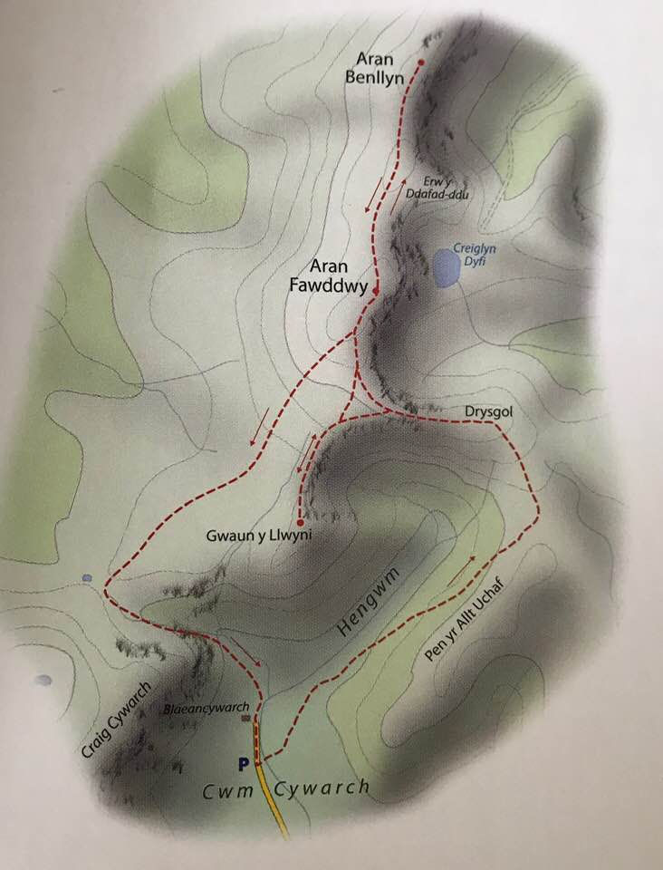
Choosing a walk was the hard bit, there are 28 walks listed and I wanted to do every one NOW! We eventually settled on Aran Fawddwy; I’d heard about a memorial cairn on the ridge and wanted to check it out.
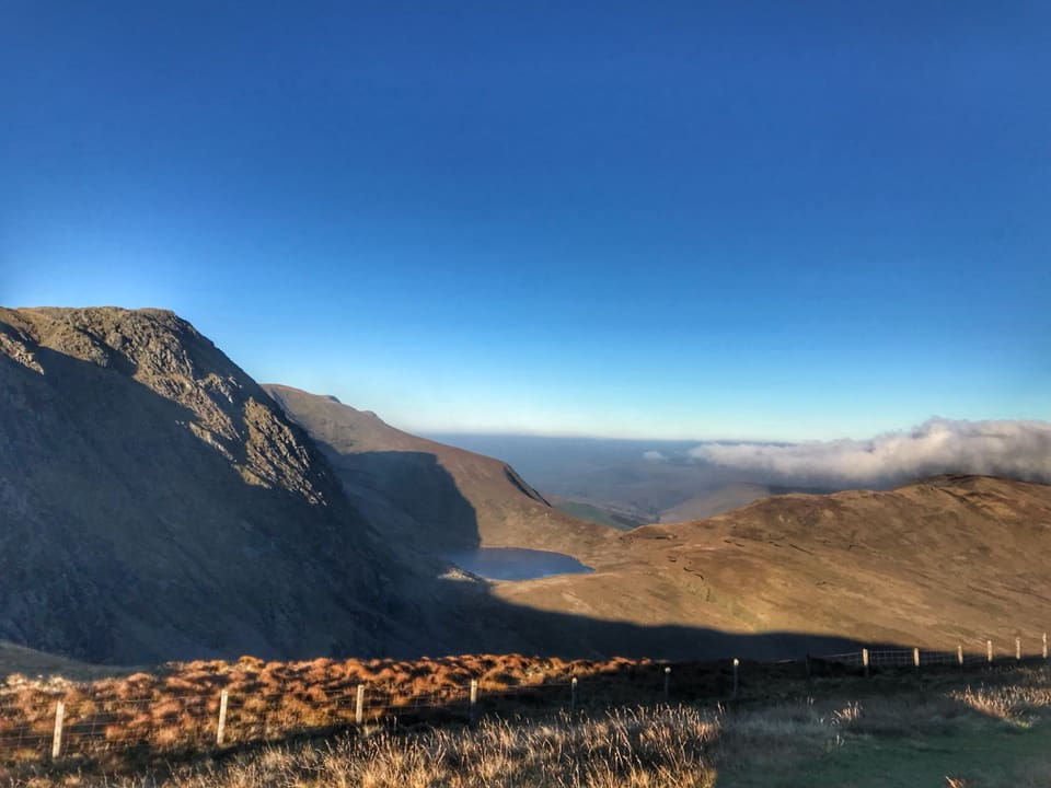
I transferred the information from the book onto my Ordnance Survey map, plotted the route on my mobile phone app as back up and we were ready to go. It was a long drive for us on the morning and the day started off with showers and low cloud, we needn’t have worried though because the cloud soon lifted and by the time we set off on our walk the sun was out and we had awesome views all around us … we were already picking out summits in the distance for future walks and referring to Carls book to check the walks out for next time.
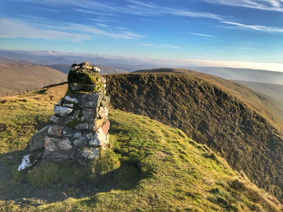
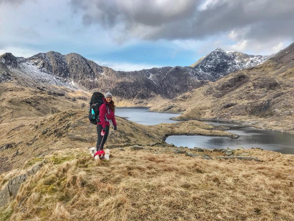
Passing over Drysgol, we ticked off the Memorial Cairn and were soon on our way to Aran Fawddwy and Aran Benllyn. The wind that had been forecast soon found us and we struggled to stand upright on the summit of Aran Fawddwy! The views over Creiglyn Dyfi were breathtaking, with ridges and mountains stretching as far as my eyes could see. The route down was boggy, so definitely worth wearing good boots and gaiters to keep your feet dry, there are boards in places though so the worst of it can be avoided (unless you’re Billy and he likes to jump in any bit of mud/boggy water he can find!).
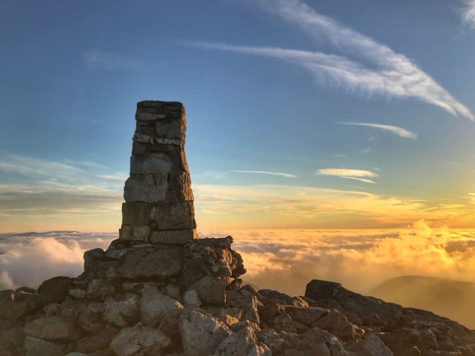
Having never used a guide book to plan my routes, I have to say guys that I’m converted. Although over time I’ve probably walked a lot of the routes in Snowdonia and I probably will get round to doing a lot in the areas I haven’t covered, it was nice to have some new ideas. I took the book with me on my walk as a reference and found it handy when I stopped for lunch to read through some of Carls ideas on walks for the adjacent mountains. I did find it useful having my Ordnance Survey map with me just for reference and Carl does recommend you taking a map for the area and a compass.
Another thing I really liked was the lack of waffle; a couple of pages for each route contained enough information to get me going. The book is also a really handy size (a little bit smaller than an A5 piece of paper). For the summit baggers out there, there’s a list of summits in descending height so if you wanted to set yourself a challenge you could gradually work your way through them. This book covered Moelwynion, Rhinog, Arenig, Cadair Idris, Dyfi Hills and Berwyns, and costs £11.99 from Northern Eye Books. Carl has also written Volume 1 and this covers the Carneddau, Glyderau, Snowdon and Eifionydd.
I was gifted this book, but I’ll definitely be heading over to Northern Eye Books website to purchase more. Carl has other books listed on their website but there are plenty of others to choose from. They’re really well priced books; packed full of ideas … big thumbs and paws up from us.

Comments